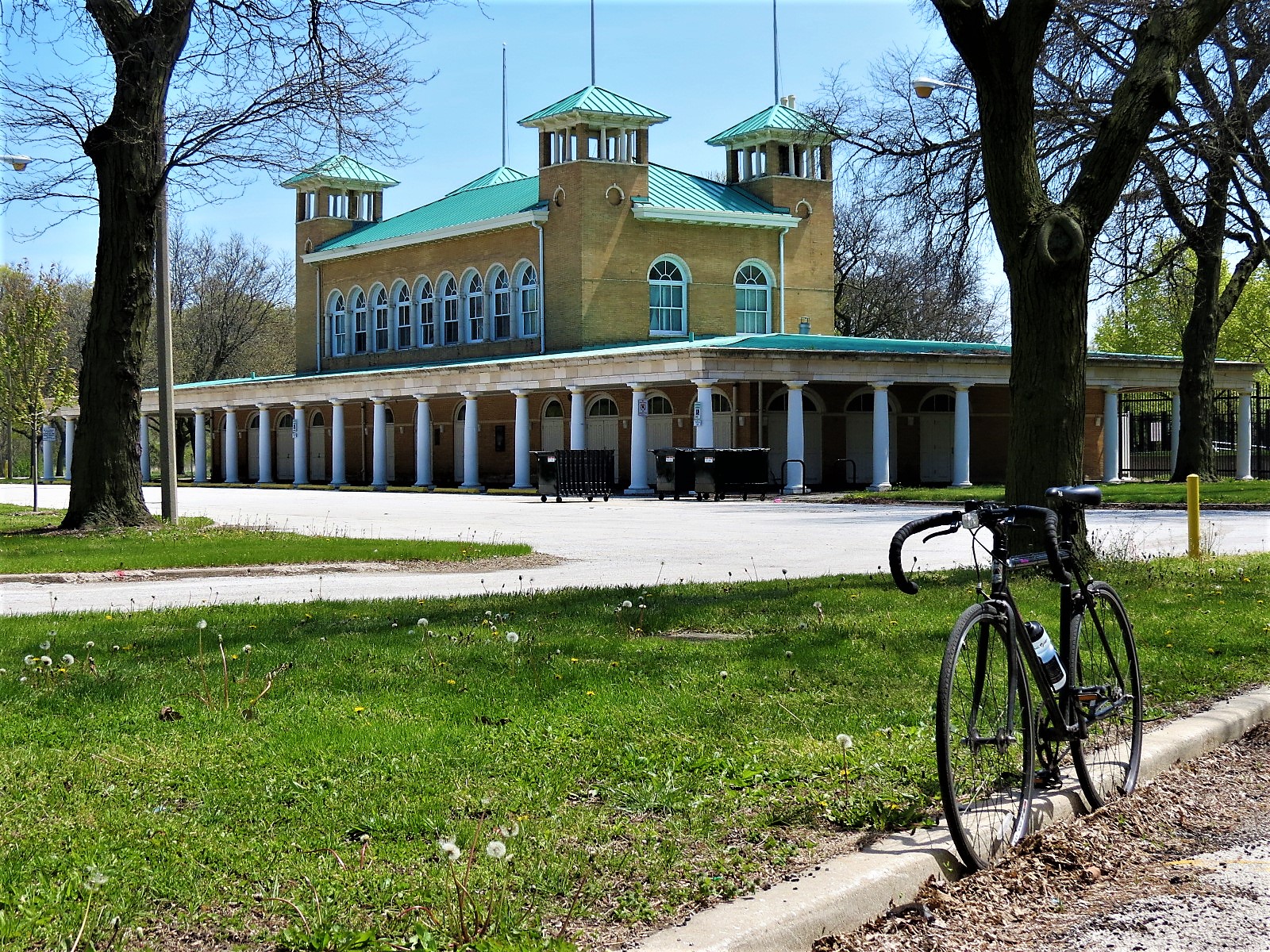
Washington Park Refectory (D.H. Burnham & Co, 1891)
Recreate the route that a Chicago Tribune writer/rider took one May day in 1895
In the May 5th edition of the Chicago Sunday Tribune an unnamed scorcher recounted his wheel around the Chicago boulevard system. This map is a close approximation of the route.
There are two types of markers – numbers and cameras. The numbered markers include our wheelman’s description of that section, a brief note on what to expect today, and when possible a historical image of buildings demolished or a CBA photo of locations still existing. The camera markers are a small sampling of modern sights that you’d see if you rode the route yourself. Use the filter above the map to display the markers you want or use the grid below the map to browse all of the marker info.
For those who are interested in even more sights along the boulevards check out the Map or the Map on the Road as you ride or in non-Covid 19 times contact me for a guided bike tour
For the most part the route is ridable today, in varying degrees of comfort. I have indicated in red where the route has issues. For example, near Douglas Park, Cinespace Studios has metastasized to cover a whole block and now has gated closed 16th Street, one section small section of the route.
For the record, the first go around on my Fuji Classic one speed (ridden in historic solidarity) matched his 4 hour ride exactly! However, the total distance was 36 miles, not his tallied 27 miles. With 19th century math like that it’s no wonder I’m still waiting for my steam-powered dirigibles!
Thanks goes to Chicagology, a treasure trove of Chicago historical sources and the place I first read about the ride.
27 Miles on Smooth Roads (Chicago Sunday Tribune, May 5, 1895) pdf.Download
Sources: Chicago Tribune, Chicagology, Nicholas Map Icons Collection