Seven photos from the CBA Division Street map
Division Street, Studs Terkel’s first collection of oral histories, was published in 1967. 70 Chicagoans from all over the city recount their relationship to the city and its people through interviews with Studs. Check out the Division Street Map to find the sites below and 130+ others mentioned in the book.
Contact CBA for custom guided rides and gift certificates, use The Map to plan your own ride, run, or walk, or check out the blog for more pics and maps.
Florence Scalia
a primary organizer against the Near West Side neighborhood demolition that would become University of Illinois at Chicago.
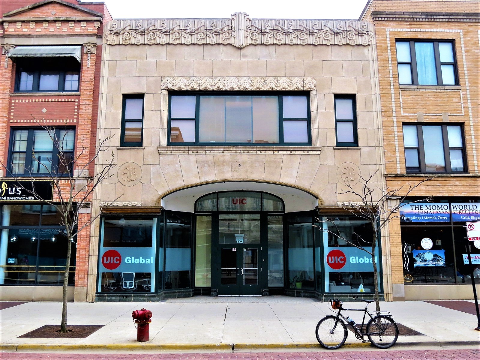
This was the facade of Edelman Brothers (Dubin and Eisenberg, 1929), originally at 1247 S Halsted, and moved to Maxwell Street during its late 1990s “restoration”. A virtual tour of the street is available from the Maxwell Street Foundation.
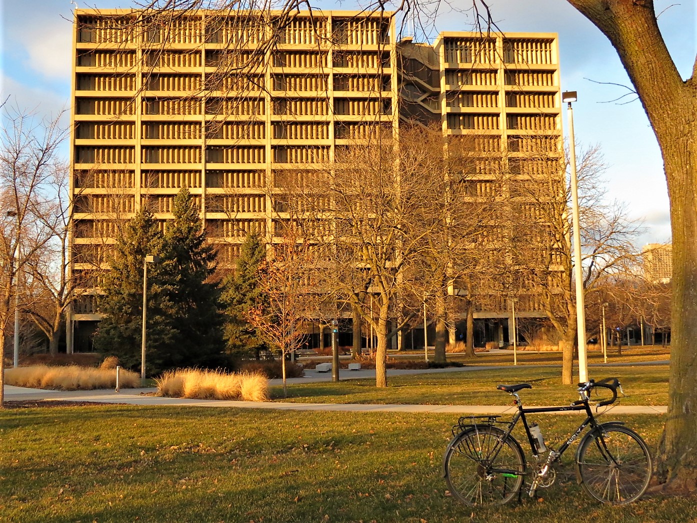
Science and Engineering Offices (Walter Netsch, 1965)
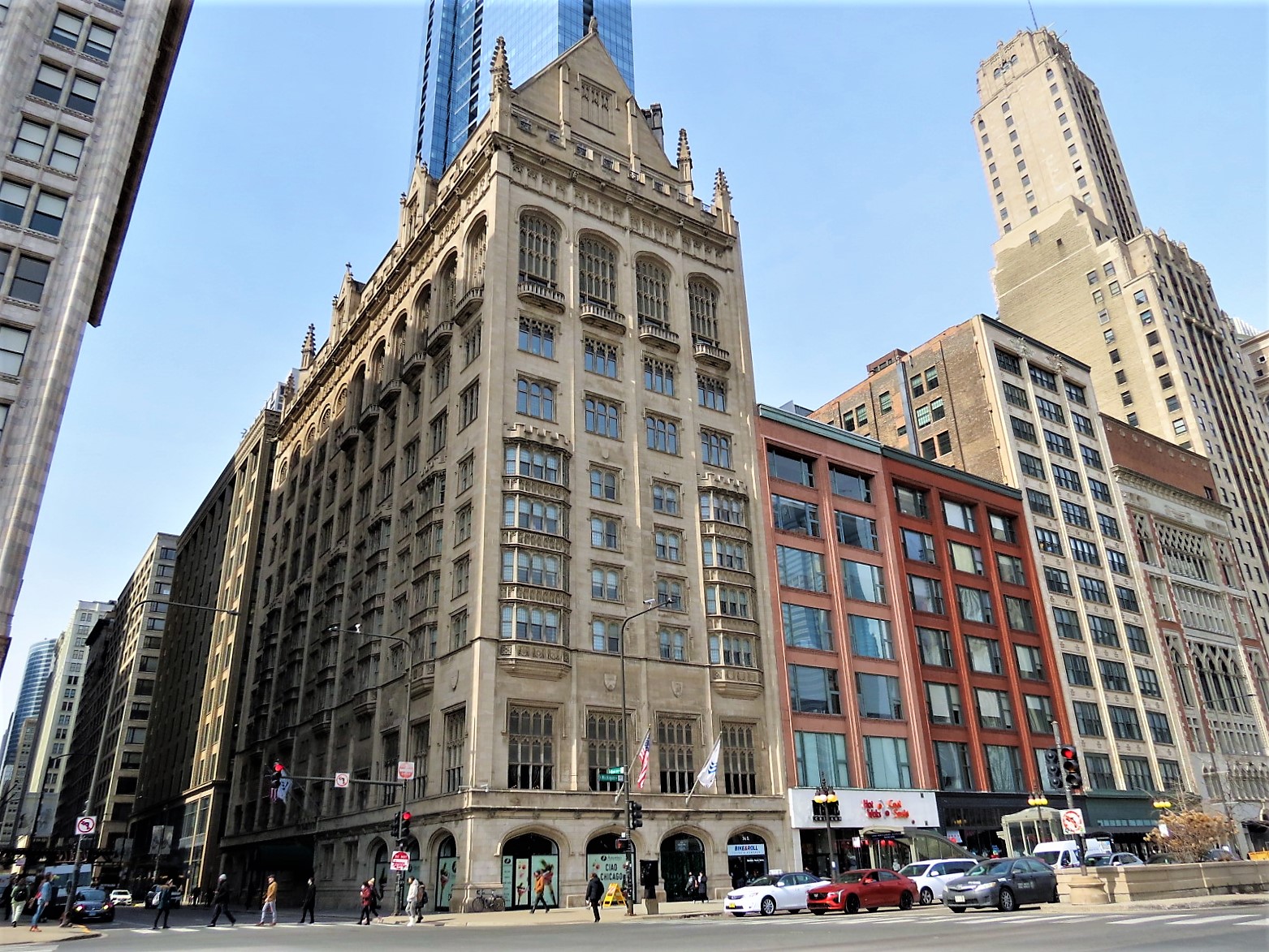
The private club in Chicago’s Loop also makes an appearance on the CBA map for So Big (Edna Ferber, 1924)
Lew Gibson
an African American meat packer living in Lawndale
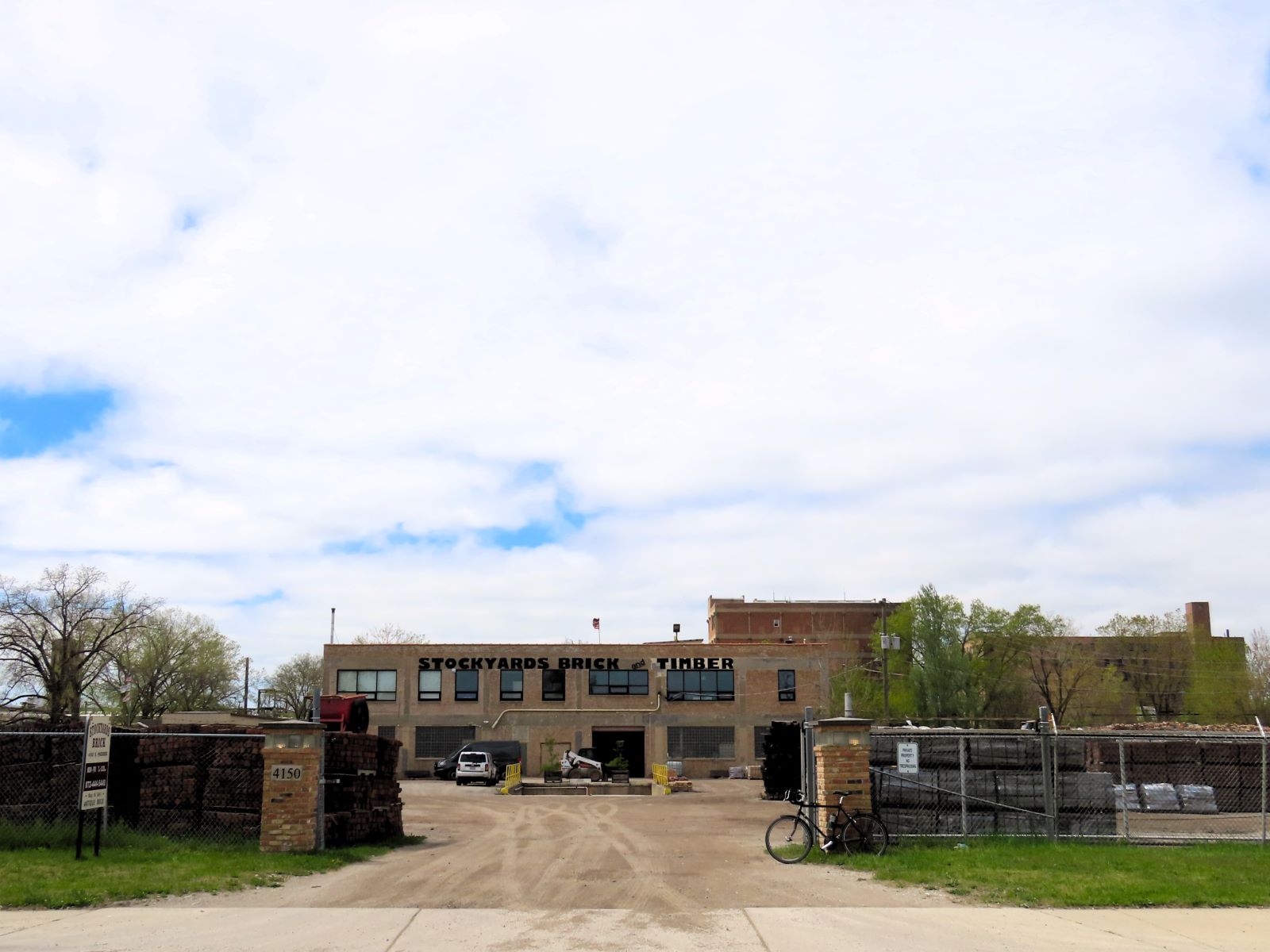
Today, Stockyards Brick & Timber, supplier of reclaimed brick and wood. After comparing the Sanborn Fire Insurance maps to satellite modern views, I’m pretty sure this was a Swift & Co building of some kind. One of the few stockyards buildings left. The stockyards get a mention on several CBA maps including The Jungle (Uptown Sinclair, 1905)
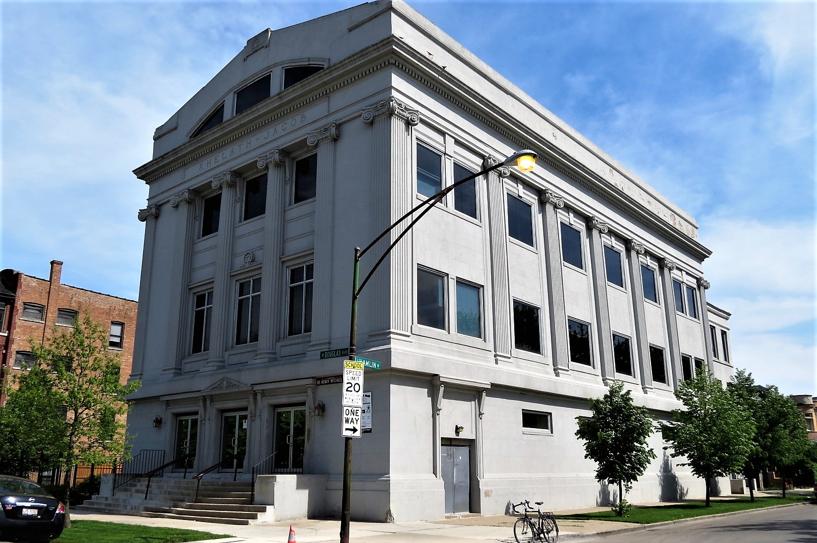
Today, Greater Garfield Park MB Church (Facebook). Formerly Kehilath Jacob Congregation (1915 – 1956) synagogue. Check out the CBA map Adapted Synagogues for more.
Benny Bearskin
a citizen of the Winnebago Nation and resident of Chicago since 1947
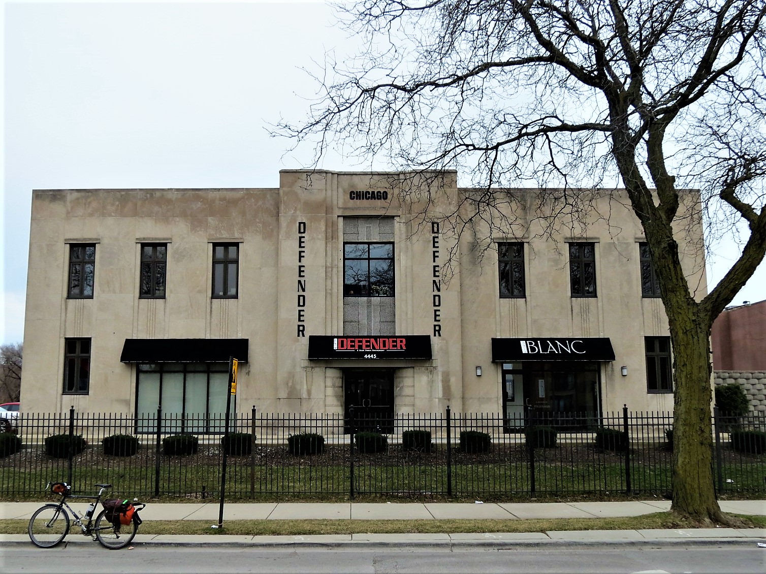
Soon after this photo was taken, the Chicago Defender went online only and closed this office, its home since the 1960s. Today, the space is occupied by the Samuel DeWitt Proctor Conference, Inc. For Chicago Defender’s other historical former homes check out the Print Chicago map
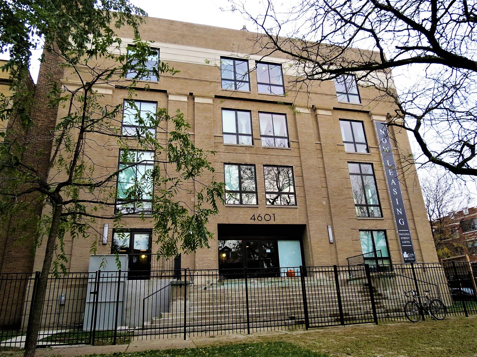
The AIC has since moved to Albany Park. The building started out as a Masonic Lodge and is now Paulina Street Lofts.
Contact CBA for a custom guided ride that includes some of these sights and for gift certificates for the cyclists in your life. This map is one of the many layers on The Map, where you can plan your own ride, run, or walk around Chicago
