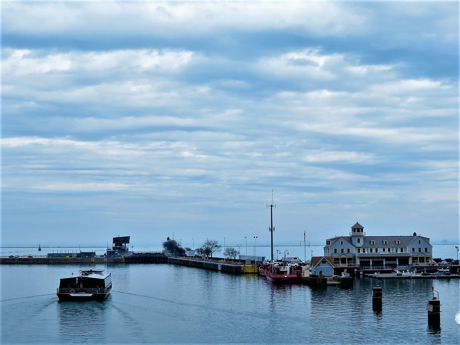
Controlling works at the the mouth of the Chicago River
70+ markers with more than 30 pictures lay out the past and present of the Chicago River and the system that tries to keep (make) it clean.
Starting from 1673 when native peoples guided Father Jacques Marquette and Louis Joliet to the portage joining the Great Lake and Mississippi watersheds, through the canal building and river straightening of the 19th and early 20th century, and to the unification of it all into the Metropolitan Water Reclamation District (MWRD) and its massive ongoing Tunnel and Reclamation Project (TARP), the map includes historical and modern sites, both natural and human-made, along the river and throughout the Chicagoland area.
If you’d like to read about the system as it was being built check the three part Water Works series [WWI, WWII, WWIII] from Chicagology.
Contact CBA for a custom guided ride that includes some of these sights or for gift certificates for the other cyclists in your life. This map is also just one layer on the bigger Map where you can plan your own ride, run, or walk.
Updated: 2025.11.24
Sources: Hill, Libby, The Chicago River: a natural and unnatural history – Southern Illinois University Press, 2016; Solzman, David M. The Chicago River: An Illustrated History and Guide to the River and Its Waterways, University of Chicago Press, 2006; Industrial History blog; Metropolitan Water Reclamation District, Icons by Icons8