
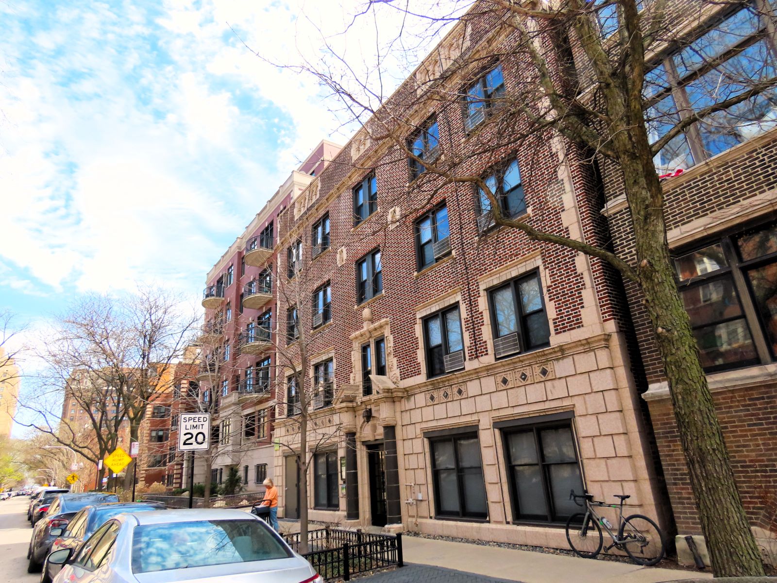
549 West Aldine, one of Teddy’s homes
The tales of a Native American teen in 1970s/80s northside neighborhoods of Chicago.
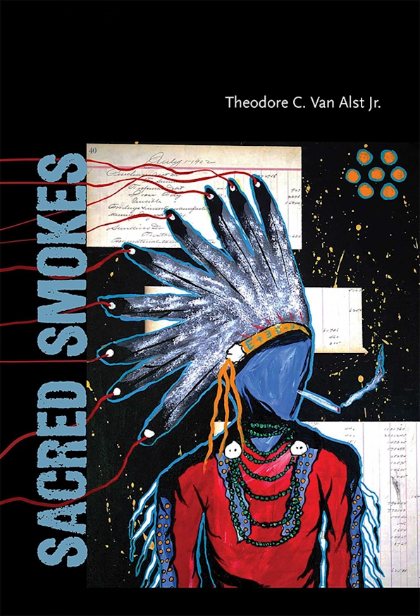
In Sacred Smokes our hero Teddy lives with his dad in cheap apartments along the northside L’s Howard Service line, basically today’s Red Line. Having memorized the city map his “pop” gave him when moving in, Teddy roams the Lake View, Uptown and Rogers Park neighborhoods, and, as he gets older, further afield. Along the way he navigates around gang boundaries and a pair of dubious cops, the of-era nicknamed Lenny and Squiggy.
As I read Teddy’s neighborhood cross streets, I was consistently struck with the stories’ very precise sense of place. Since Teddy is in a gang that precision is important. He shows us Pottawatomie Park, The Vic, and “the safe way” from the Addison train stop to his place at Aldine and Broadway, while referencing Sanford and Son and Cormac McCarthy.
The 85 location markers include:
- a modern picture of the location (an historical one, if demoed and well known)
- a text quote for story context
- plus, any historical/architectural/modern info that came up while mapping the location
You can continue to follow Teddy’s adventures in Sacred City (2021), Sacred Folks (2024) and 2025’s The El, in which Teddy leads his friends home on the train after a peace gathering at Roosevelt High goes wrong, definitely one for the public transport enthusiasts out there.
A scrollable alphabetical list of the markers sits below the map.
A note on Chicago gang related beefs & locations. It should be no surprise to the reader that as a middle class/aged white fella from Oklahoma I have no horse in this race. Markers with insults and territory locations are meant to be as book accurate as possible while respecting the people who are actually involved (then and now).
Sources: Sacred Smokes (Theodore C Van Alst Jr, 2018), Icons8 (book icons), CBA abbreviations