The Word Cup, an illness, a family holiday, and website issues have messed with my winter blog posting plans so I’m finally getting some of my non map related pictures up. Time for some posting diversity!
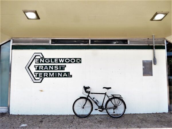
Englewood neighborhood, the terminal was completed in 1969 (8/23/22). I recently used the terminal on the map for Sam Greenlee’s 1969 novel The Spook Who Sat by the Door.
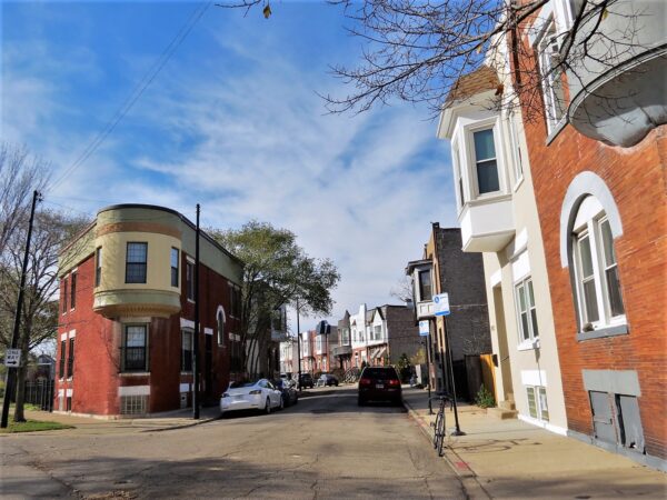
W Monroe & 5th Avenue in East Garfield Park. The rowhouses (Lars Gustav Hallberg, 1887); corner left, 1894 (11/8/22). Chicago Patterns has a great 2015 write up on this Samuel Gross housing edition which was once surrounded by farmland.
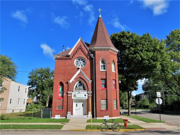
St Peter Word Church in West Woodlawn (Charles Sorenson, 1907) (9/28/22). Built as St Stefan’s Danish Lutheran. The 1950 Sanborn Map records Woodlawn Union Baptist there.
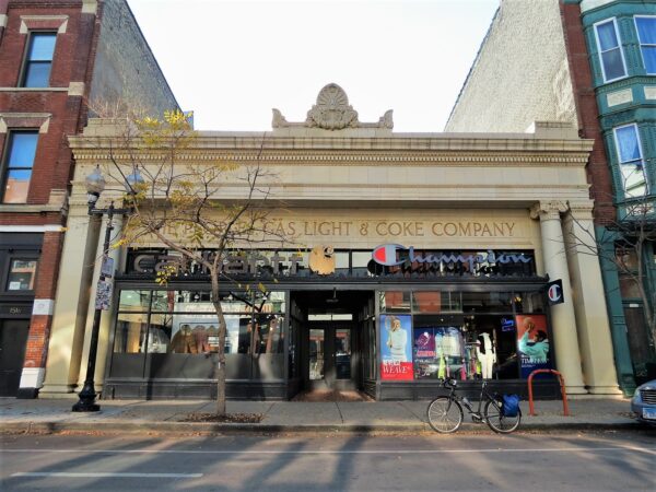
1520 N Milwaukee Ave (Jens J Meldahl, 1921) in Wicker Park (11/1/22). The terra cotta refront happened in 1924.
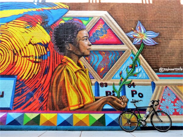
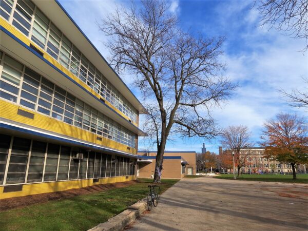
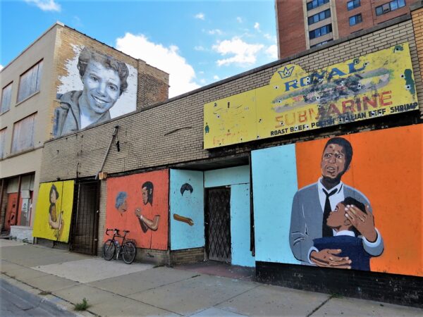
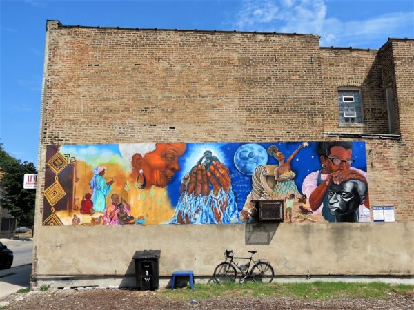
What We Create (Cyd Smillie with I Grow Chicago, 2017) in Englewood (8/23/22). The role of women past, present & future
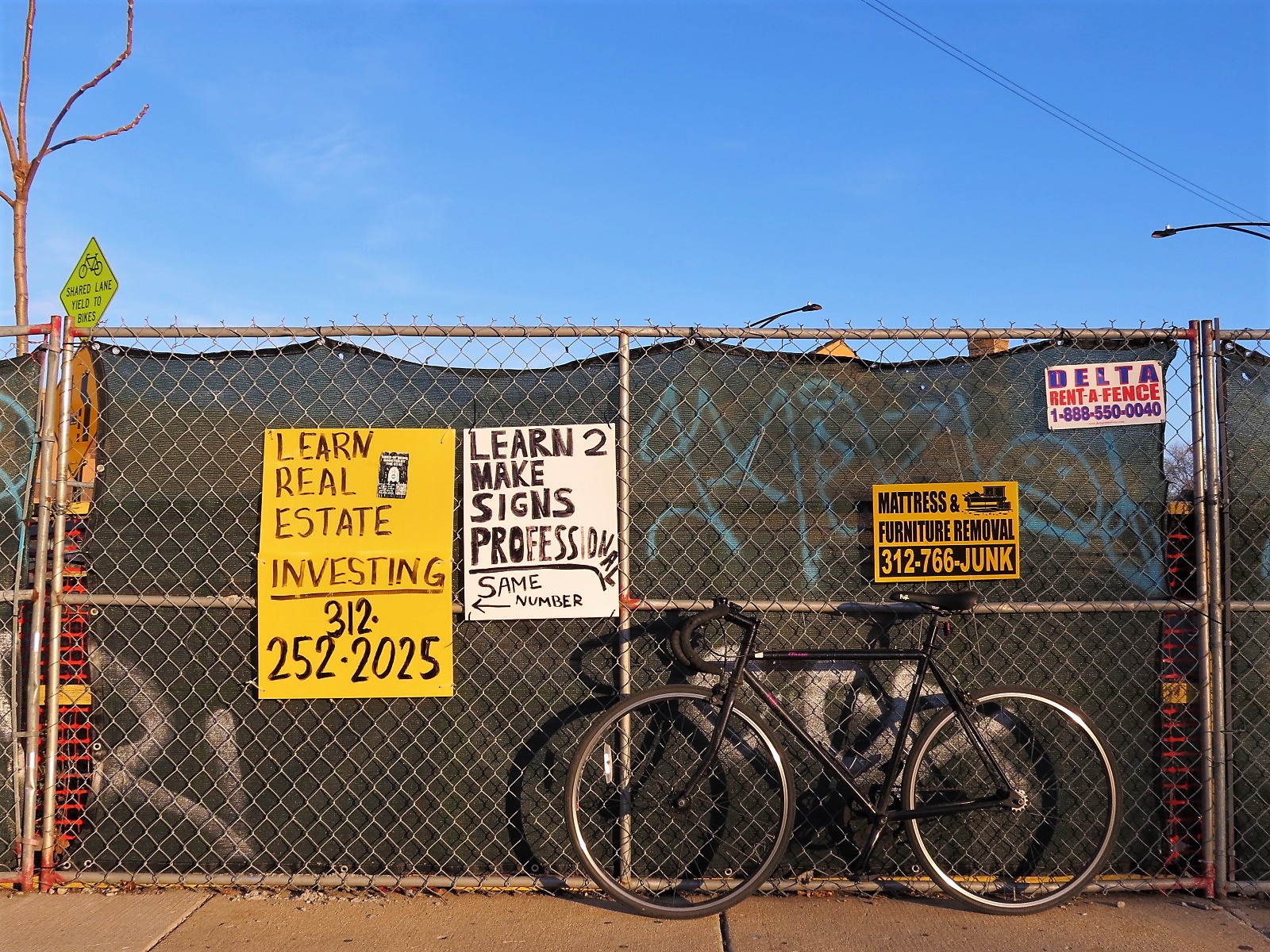
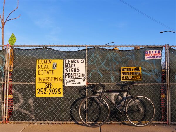
Someone is doing a bit in Avondale (11/22/22)
Contact CBA for a custom guided ridethat includes some of these sights and for gift certificates for the cyclists in your life.Also, this map is just one layer of many on The Map, where you can plan your own ride, run, or walk around Chicago.
ciara yelowshorts hd.kind girls princess teen webcam hot xxx.
hot naked blonde in amateur homemade sex tape. big ass porn phim videos ass fucking latino guys have a threeway.