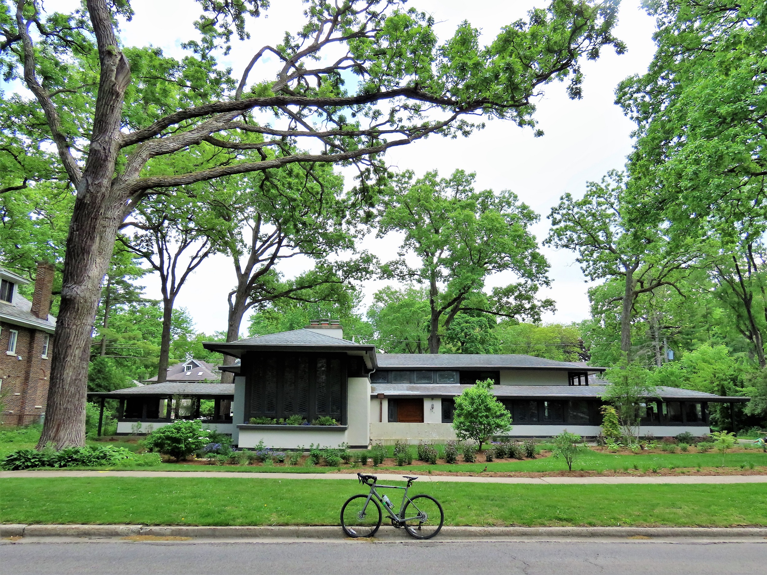
Frank Lloyd Wright started his career designing structures in Chicago and its suburbs.
The map shows the still existing structures that Wright had a hand in designing between 1888-1911, 100 miles from the end of Chicago public transport. Each marker indicates whether the building is public or private, the year of its original drawing, and its general purpose. Also, a link to the Frank Loyd Trust description of each site has been added.
Oak Park tip
For those who may need it, the Oak Park CTA Green Line “L” stop is close to the cluster of Wright structures Bikes are free on CTA.
Find this map with other points of interest on The Map or contact me for a guided bike tour that includes these locations.
Source: Frank Lloyd Wright Trust, Maps Icon Collection

